
David Jordan,
Professor Andrew (University Distinguished Professor of History, The University of Southern Mississippi) Wiest
Amber Books Ltd
e druk, 2023
9781838863531
World War II Illustrated Atlas
Specificaties
Gebonden, 256 blz.
|
EN
Amber Books Ltd |
e druk, 2023
ISBN13: 9781838863531
Rubricering
Juridisch
:
Onderdeel van serie
Atlas
Levertijd ongeveer 8 werkdagen
Gratis verzonden
Samenvatting
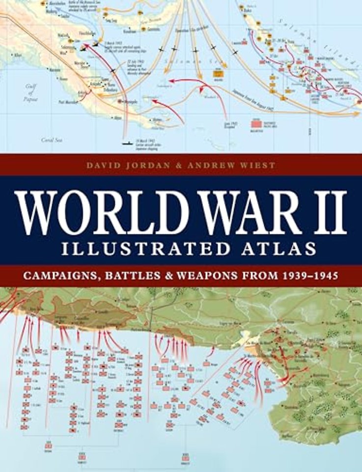
With 160 colour maps, World War II Illustrated Atlas plots the course of the land, sea and air campaigns in fine detail, tracing the ebb and flow of the fortunes of both sides. Contents include the land, sea and air campaigns in North-West Europe, Italy, North Africa, Russia, South-East Asia and the Pacific, Atlantic, and Mediterranean.
Specificaties
ISBN13:9781838863531
Taal:EN
Bindwijze:Gebonden
Aantal pagina's:256
Uitgever:Amber Books Ltd
Serie:Atlas
Net verschenen
Rubrieken
- aanbestedingsrecht
- aansprakelijkheids- en verzekeringsrecht
- accountancy
- algemeen juridisch
- arbeidsrecht
- bank- en effectenrecht
- bestuursrecht
- bouwrecht
- burgerlijk recht en procesrecht
- europees-internationaal recht
- fiscaal recht
- gezondheidsrecht
- insolventierecht
- intellectuele eigendom en ict-recht
- management
- mens en maatschappij
- milieu- en omgevingsrecht
- notarieel recht
- ondernemingsrecht
- pensioenrecht
- personen- en familierecht
- sociale zekerheidsrecht
- staatsrecht
- strafrecht en criminologie
- vastgoed- en huurrecht
- vreemdelingenrecht