Professor Michael S Neiberg
Amber Books Ltd
e druk, 2023
9781838863548
World War I Illustrated Atlas
Specificaties
Gebonden, 192 blz.
|
EN
Amber Books Ltd |
e druk, 2023
ISBN13: 9781838863548
Rubricering
Juridisch
:
Onderdeel van serie
Atlas
Levertijd ongeveer 8 werkdagen
Gratis verzonden
Samenvatting
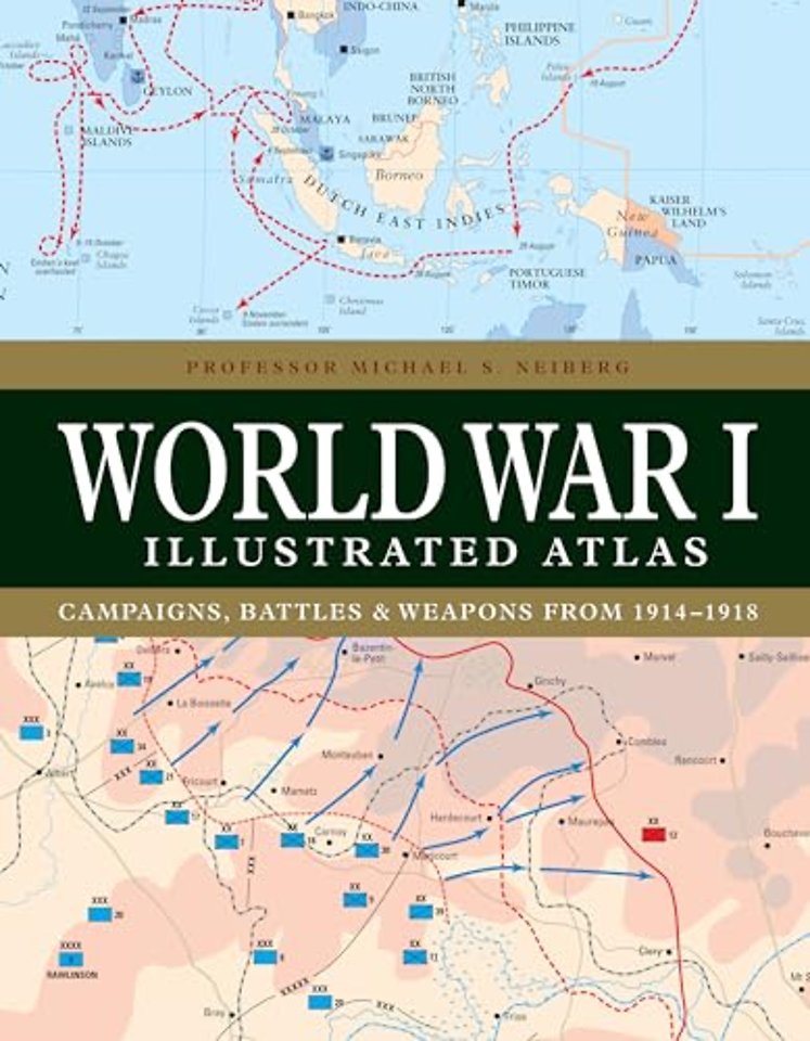
WWI was a complex conflict: an air war, a land war fought in the Balkans, NW Europe, Italy, Africa, Turkey and the Middle East, and a naval war in the North Sea, South Atlantic, South Pacific and Indian Oceans. Including over 180 detailed maps, World War I Illustrated Atlas is an invaluable reference guide to this global war.
Specificaties
ISBN13:9781838863548
Taal:EN
Bindwijze:Gebonden
Aantal pagina's:192
Uitgever:Amber Books Ltd
Serie:Atlas
Net verschenen
Rubrieken
- aanbestedingsrecht
- aansprakelijkheids- en verzekeringsrecht
- accountancy
- algemeen juridisch
- arbeidsrecht
- bank- en effectenrecht
- bestuursrecht
- bouwrecht
- burgerlijk recht en procesrecht
- europees-internationaal recht
- fiscaal recht
- gezondheidsrecht
- insolventierecht
- intellectuele eigendom en ict-recht
- management
- mens en maatschappij
- milieu- en omgevingsrecht
- notarieel recht
- ondernemingsrecht
- pensioenrecht
- personen- en familierecht
- sociale zekerheidsrecht
- staatsrecht
- strafrecht en criminologie
- vastgoed- en huurrecht
- vreemdelingenrecht