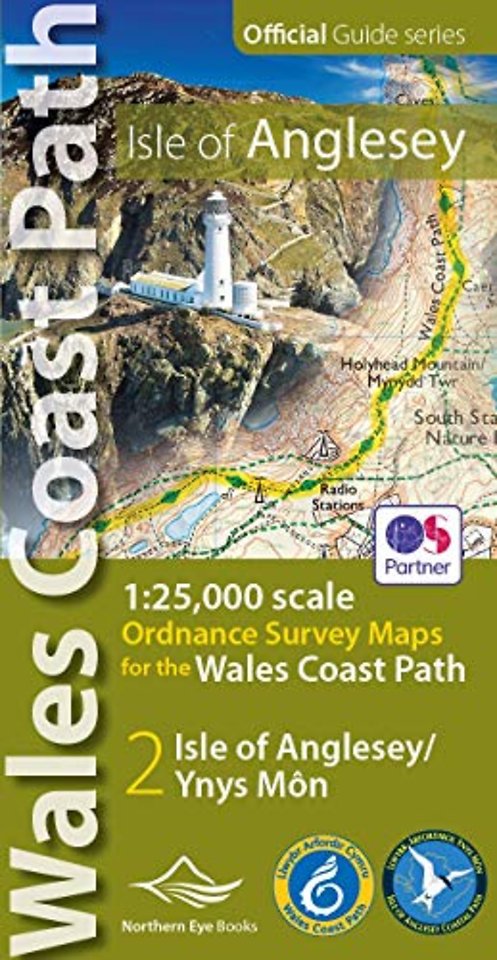
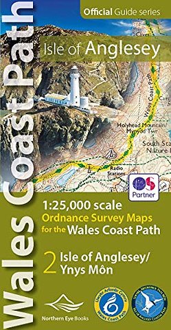
Isle of Anglesey Coast Path Map (WCP)
1:25 000 scale OS mapping for the Isle of Anglesey WCP
Specificaties
Paperback, 48 blz.
|
EN
Northern Eye Books |
e druk, 2019
ISBN13: 9781908632593
Rubricering
Juridisch
:
Levertijd ongeveer 8 werkdagen
Samenvatting
Enhanced, large scale (1: 25,000) Ordnance Survey mapping in a handy atlas format with all the mapping you need to walk a complete circuit of the Anglesey section of the Wales Coast Path. Continuous OS mapping covering the complete circuit from Menai Bridge. Contains coastal extracts from large scale Explorer maps 262 and 263.
Specificaties
ISBN13:9781908632593
Taal:EN
Bindwijze:Paperback
Aantal pagina's:48
Uitgever:Northern Eye Books
Net verschenen
Rubrieken
- aanbestedingsrecht
- aansprakelijkheids- en verzekeringsrecht
- accountancy
- algemeen juridisch
- arbeidsrecht
- bank- en effectenrecht
- bestuursrecht
- bouwrecht
- burgerlijk recht en procesrecht
- europees-internationaal recht
- fiscaal recht
- gezondheidsrecht
- insolventierecht
- intellectuele eigendom en ict-recht
- management
- mens en maatschappij
- milieu- en omgevingsrecht
- notarieel recht
- ondernemingsrecht
- pensioenrecht
- personen- en familierecht
- sociale zekerheidsrecht
- staatsrecht
- strafrecht en criminologie
- vastgoed- en huurrecht
- vreemdelingenrecht