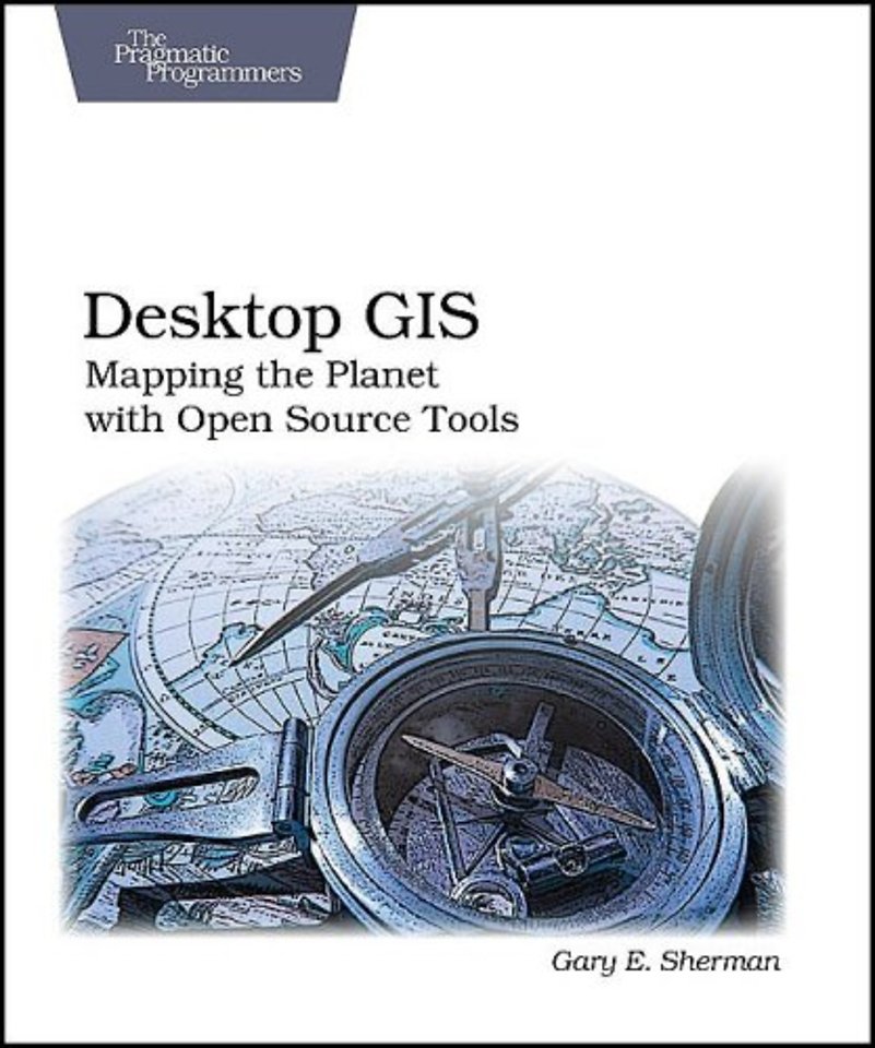


Coming from a natural sciences background, Gary Sherman has been torturing computers and programming languages for years.
Meer over Gary ShermanDesktop GIS Mapping the Planet with Open Source Tools
Samenvatting
From Google Maps to iPhone apps, geographic data and visualization is quickly becoming a standard part of life.
Desktop GIS shows you how to assemble and use an Open Source GIS toolkit. You'll find strategies for choosing a platform, selecting the right tools, integration, managing change, and getting support. You'll get a good introduction to using the many tools available so you can visualize, digitize, and analyze your own mapping data.
Desktop GIS explores the world of Open Source GIS software and provides a guide to navigate the many options available. Discover what kind of GIS user you are and lay the foundation to evaluate the options and decide what software is best for you.
Desktop GIS examines the challenges associated with assembling and using an OSGIS toolkit. You'll find strategies for choosing a platform, selecting the right tools, integration, managing change, and getting support. The survey of OSGIS desktop applications provides you with a quick introduction to the many packages available. You'll see examples of both GUI (Graphical User Interface) and command line interfaces to give you a feel for what is available.
This book will give you an understanding of the Open Source GIS landscape, along with a detailed look at the major desktop applications, including GRASS, Quantum GIS, uDig, spatial databases, GMT, and other command line tools. Finally, the book exposes you to scripting in the OSGIS world, using Python, shell, and other languages to visualize, digitize, and analyze your data.
Specificaties
Inhoudsopgave
1. Introduction
2. Getting started
3. Working with Vector Data
4. Working with Raster Data
5. digitizing and editing Vector data
6. Data formats
7. Spatial databases
8. Creating data
9. Projections and coordinate systems
10. Geoprocessing
11. Using Command-Line tools
12. Getting the most out of QGIS and GRASS integration
13. GIS scripting
14. Writing your own GIS applications
A: Survey of Desktop mapping software
B: Installing software
C: GRASS basics
D: Quantum GIS Basics
Index
Anderen die dit boek kochten, kochten ook
Net verschenen
Rubrieken
- aanbestedingsrecht
- aansprakelijkheids- en verzekeringsrecht
- accountancy
- algemeen juridisch
- arbeidsrecht
- bank- en effectenrecht
- bestuursrecht
- bouwrecht
- burgerlijk recht en procesrecht
- europees-internationaal recht
- fiscaal recht
- gezondheidsrecht
- insolventierecht
- intellectuele eigendom en ict-recht
- management
- mens en maatschappij
- milieu- en omgevingsrecht
- notarieel recht
- ondernemingsrecht
- pensioenrecht
- personen- en familierecht
- sociale zekerheidsrecht
- staatsrecht
- strafrecht en criminologie
- vastgoed- en huurrecht
- vreemdelingenrecht


